




- Place
- Gagron Fort
- Focus
- River-protected defensive setting
- Rivers named
- Ahu and Kali Sindh
- Current river / access
- Not confirmed
- Reviewed
- 17 November 2026
Reviewed: 17 November 2026. Selective heritage outline, not a ticket or access guarantee.
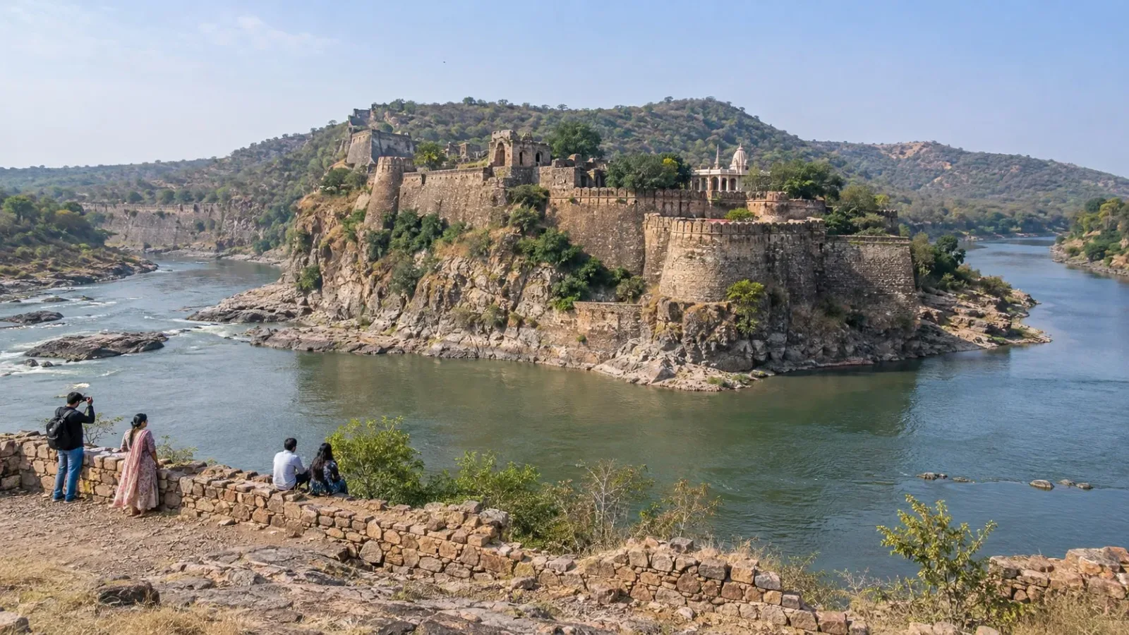
AI-generated fictional Gagron-inspired river-fort scene, not an exact fort layout, present water level, safe bank, crossing or permitted viewing route.
At Gagron, begin with the relationship between rivers and defence. Rajasthan Tourism describes the fort with the Ahu and Kali Sindh rivers on three sides. UNESCO's Hill Forts of Rajasthan account identifies Gagron as a river-protected fort. That makes its geographic position the main question, rather than an assumption that a fort visit must culminate in a climb.
Read the rivers as defensive context
The state tourism account's description of water on three sides helps explain how the setting belongs to the fort's defensive identity. Look at that relationship from permitted visitor areas rather than make the visit solely about individual rooms or a high viewpoint.
This is a historical and architectural looking question, not a current water-level statement. It does not mean the site is an island in every season or establish a complete walk along the banks. No water edge is recommended as an informal viewing route.
Connect the position with strategic purpose
UNESCO describes Gagron as river-protected and relates its strategic position in a pass to control of trade routes. Geography is therefore part of the explanation of the fort, not scenery added to it. This article does not reconstruct a particular battle, crossing or historical journey.
Gagron is a component of the serial Hill Forts of Rajasthan property. That does not make every feature described across the series an attribute of every fort, or make the whole surrounding city part of the inscription. The focus here remains Gagron's river-defence relationship.
Separate historical geography from current conditions
Neither a heritage description nor a photograph establishes today's river flow, bank condition, bridge access or safe approach. Do not turn the river setting into permission for a crossing, boat trip, bathing stop or descent to the water.
The heritage account also notes replacement of exterior plaster at Gagron. There is no claim here that every visible surface is unchanged original work. Historical conservation concerns do not by themselves provide a current structural safety assessment, either positive or negative.
Confirm the actual permitted view
Before setting out, ask which open areas allow the river-defence relationship to be understood and what the actual visitor route includes. No summit, all-wall circuit, riverside path or unobstructed panorama is verified. Keep the plan within current barriers and directions.
Confirm the actual entrance, opening and last entry, admission scope, visitor category, final total and photography rules. The tourism page's general fee and opening lines are not a confirmed product for your date. No shrine, fair, monastery, museum, performance or regional circuit is included by this article.
Ask about the drop-off, walking, steps, surfaces, rest points, toilets, assistance and return for the selected route. No continuous step-free access, guide language, river condition or fixed duration is established. A confirmed view of the geographic relationship can be the purpose without adding an unverified climb or river activity.
Frequently asked questions
Why give the rivers attention?
Official accounts relate Gagron's setting to protection and strategic position.
Does the description establish today's water level?
No. Current river conditions need their own check.
Is a crossing, boat ride or bank walk part of this visit?
No such route or activity is established here.
Must the plan include the summit or every wall?
No. Confirm the permitted areas and choose a route that fits your group and the river-defence interest.
Does this article reserve a guide or transport?
No. Confirm the actual provider, language, meeting point, fee and return separately. A heritage description does not book a service.
Is there a fixed visit duration for every traveller?
No. This is a selective editorial outline. Check your group and actual route before adding further stops.
Official sources and limits
Official heritage descriptions support the named structures and architectural features, not current opening, final fees, combined ticket scope, services or continuous accessible routes. Verify the actual visit separately.

A Miranda House graduate and lawyer who traded courtrooms for slow travel. Cheshta travels with the batches we host ourselves, with a soft spot for travelling alongside elders.
Planning your next trip?
We'll handle insurance, hotels, airport assistance and the itinerary — the same way we do it for every trip.
Questions on this article
asked by readers, answered by us
Was this helpful?
one tap, no sign-up