




- Process described
- Running water cutting soil
- Channels named
- Gullies
- Regional term
- Chambal ravines
- Current assessment
- Not supplied
- Reviewed
- 17 November 2026
Reviewed: 17 November 2026. Selective heritage outline, not a ticket or access guarantee.
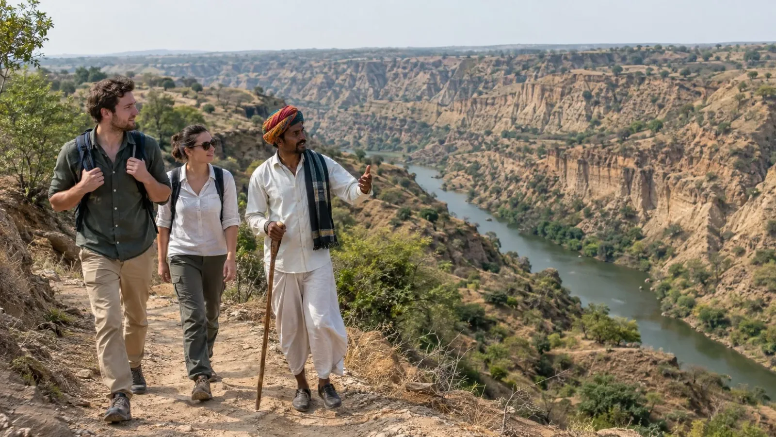
AI-generated fictional landscape and travellers, not an exact ravine, verified soil profile, current erosion record, authorised viewpoint, guide service or safe visitor route.
Chambal's ravines have a process behind their landform name. In its account of soil erosion, NCERT describes running water cutting channels into soil, calls those channels gullies, and identifies such land in the Chambal basin as ravines. That connection between water, channels and cut land is the focus here.
Begin with water cutting the soil
The textbook describes erosion as the removal and washing down of soil cover. Within that account, running water cuts through clayey soil to form channels called gullies. This explains a process, rather than treating the broken-looking land only as a scenic outline.
The explanation is qualitative. It supplies no erosion rate, channel depth, age or measurement of how much land has changed. It also does not diagnose the soil or process at a particular photographed location.
Relate gullies to the ravine landscape
The same passage connects the gully-cut land with the term ravines in the Chambal basin. Read the channel and the surrounding cut land as parts of the explanation, rather than using ravine only as a dramatic place name.
The Ministry of Water Resources' parliamentary reply also associates areas around the Chambal and its tributaries with gully erosion. That supports the regional connection without providing a current map of individual ravines.
This article does not trace a gully into the river, explain every cause of ravine development or describe every landform in the basin. Nor does it turn a general account into a judgement about a particular farm or settlement.
Keep a general process separate from present conditions
An explanation of how water cuts channels is not a report on today's erosion. It does not establish a current rate, active edge, land condition or conservation result. No particular ravine is classified here as growing, stable or restored.
The textbook's general discussion of land use is not used to judge every piece of land or the people who work it. No farming or erosion-control method is supplied. The subject is the relationship between the terms and the process described by the sources.
A landform account also gives no visitor route, descent, viewpoint, river approach or permission to enter land. It establishes no present safety condition. The narrow takeaway remains water cutting channels in soil and the connection to the land called ravines in the Chambal basin.
Frequently asked questions
What does the textbook call the channels cut by running water?
Gullies. Its explanation concerns channels cut through soil.
How does it connect that process with Chambal?
It calls such land ravines in the Chambal basin.
Does this describe the present rate or extent of erosion?
No. No current measurement, boundary or condition assessment is made.
Does the explanation provide a visitor route or erosion-control method?
No. Neither a route nor a land-management instruction is supplied.
Does this classify a particular farm or settlement?
No individual landholding or settlement is assessed.
Does the image prove a real safe viewpoint?
No. It is fictional and supplies no route, access or safety evidence.
Official sources and limits
Official qualitative gully/ravine process and regional connection only. No current erosion rate, measurement, land classification, conservation result, soil diagnosis, route, safe viewpoint or erosion-control instruction.

A Miranda House graduate and lawyer who traded courtrooms for slow travel. Cheshta travels with the batches we host ourselves, with a soft spot for travelling alongside elders.
Planning your next trip?
We'll handle insurance, hotels, airport assistance and the itinerary — the same way we do it for every trip.
Questions on this article
asked by readers, answered by us
Was this helpful?
one tap, no sign-up