




- Wetland described
- Seasonal and saline
- Setting
- Grasslands and salt flats
- Seasonal process
- Monsoon flooding
- Present water/wildlife
- Unverified
- Reviewed
- 17 November 2026
Reviewed: 17 November 2026. Selective heritage outline, not a ticket or access guarantee.
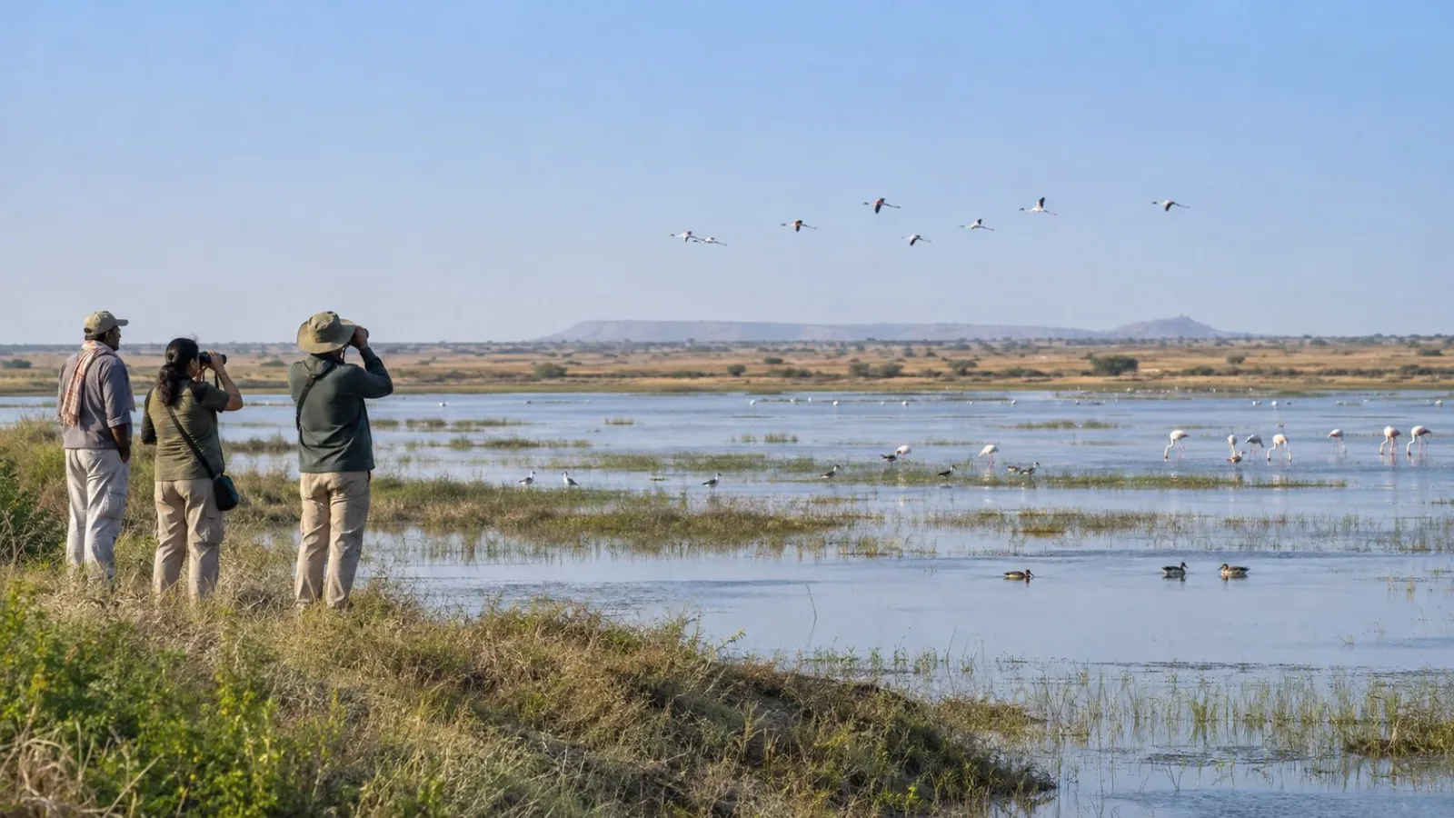
AI-generated fictional wetland and birdwatching scene, not an exact site boundary, species record, present water or wildlife report, seasonal travel advice or authorised visitor access.
Chhari Dhand is described by the Convention on Wetlands Secretariat as a seasonal saline wetland between Banni's arid grasslands and the salt flats of Kachchh. Its account connects monsoon flooding with the formation of water bodies. Read the wetland through that seasonal relationship, rather than expect one unchanging expanse of water.
Place the wetland within its surroundings
The Secretariat's account names three related parts of the setting: the wetland, Banni's arid grasslands and Kachchh's salt flats. The wetland sits between the other named landscapes in that description. These terms help explain the setting without treating the whole area as one uniform surface.
This is a qualitative account, not a boundary map. It does not identify where a particular grass patch, salt surface or wetland edge begins in a photograph. No land ownership, public approach or right to cross the surrounding land follows from it.
Understand monsoon flooding as a seasonal description
The Secretariat describes flooding during the monsoon, forming water bodies. Seasonal therefore matters to how the wetland is understood: the account is about water in a changing seasonal setting, not a promise of a permanent lake scene.
The description supplies no exact filling or drying date, depth, duration or water extent for a chosen year. It does not establish that the wetland completely dries out, or that each monsoon produces an identical pattern. No present water level or salinity measurement is given here.
Separate that description from conditions on a visit
A general account of monsoon flooding is not a current inundation report or a recommendation to arrive in a particular month. It does not confirm what will be visible, whether a route is open or what wildlife a visitor will encounter.
This article gives no bird list, migration forecast, sighting promise, water-entry activity or wetland crossing. Current water condition, permitted areas, access, facilities and assistance are unverified. The limited takeaway is a seasonal saline wetland in the source-described grassland-and-salt-flat setting, with monsoon flooding as part of its general account.
Frequently asked questions
How does the Secretariat identify Chhari Dhand?
As a seasonal saline wetland between Banni's arid grasslands and Kachchh's salt flats.
What seasonal process does its account describe?
Monsoon flooding that forms water bodies.
Does seasonal mean a fixed filling or drying date?
No. This article supplies no such date or identical annual pattern.
Does the description confirm water, wildlife or access for a visit?
No. Those current conditions and arrangements are not established here.
Does this claim the wetland dries out completely?
No. No complete-drying or identical-annual-pattern claim is made.
Does the image identify species or a birdwatching route?
No. It is fictional and establishes neither species nor access.
Official sources and limits
Seasonal saline wetland, source-described setting and monsoon flooding only. No designation news, current water/salinity, species, migration or sighting promise, exact filling/drying date, route, land right or access claim.

A Miranda House graduate and lawyer who traded courtrooms for slow travel. Cheshta travels with the batches we host ourselves, with a soft spot for travelling alongside elders.
Planning your next trip?
We'll handle insurance, hotels, airport assistance and the itinerary — the same way we do it for every trip.
Questions on this article
asked by readers, answered by us
Was this helpful?
one tap, no sign-up