




- Place
- Lonar
- Landform
- Impact depression in basalt
- Lake relationship
- Within the central depression
- Water chemistry
- Outside this account
- Reviewed
- 17 November 2026
Reviewed: 17 November 2026. Selective heritage outline, not a ticket or access guarantee.
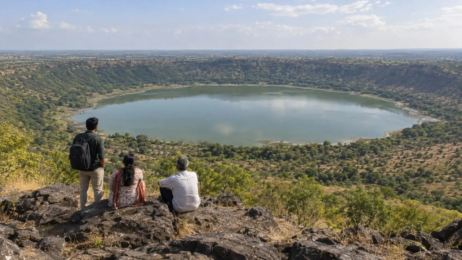
AI-generated fictional Lonar-inspired scene, not a surveyed crater or shoreline, current water-colour record, verified viewpoint or access arrangement.
At Lonar, crater and lake describe related things, not precisely the same thing. Buldhana Zilla Parishad describes an impact structure in basalt and a depression with a lake in its central portion. The useful distinction is between the landform and the water it contains.
Begin with the depression
The district account identifies the structure with a meteor impact. The Geological Survey of India's Rock Texture Atlas also names Lonar among confirmed impact structures. This gives the crater an origin, rather than merely a circular appearance.
Basalt is the rock setting named by the district source. It does not replace the impact explanation. Keep the material and the process separate: the source describes an impact structure in basalt, not a crater identified only by the type of rock around it.
Place the lake within that landform
The district description places the lake in the central part of the depression. That relationship is the point of the account. The body of water belongs within the larger geological feature; the words lake and crater need not be treated as exact substitutes.
It is a relationship, not a measurement. This article does not reconstruct the original crater shape, map a shoreline or describe how much of the depression is occupied by water at any particular time.
Keep impact origin separate from appearance
A photograph of a rounded lake is not the evidence used here to establish impact origin. The attribution comes from the district account and GSI's scientific discussion. This article does not identify a geological structure from an image alone.
GSI discusses specialist analysis of shock-related rock textures. That is not an instruction to find such textures unaided, collect a specimen or test a rock. The source's scientific methods do not become an activity in this account.
Leave water claims outside the description
The narrow physical relationship does not require an explanation of water colour, chemical layers or unusual organisms. None is supplied here. Nor does describing a lake establish that its water can be drunk, entered or used for a particular activity.
The account makes no claim about current visibility, viewing arrangements, routes or facilities. It also leaves age estimates, dimensions, rankings and surrounding temple histories aside. The central idea is enough: an impact depression in basalt contains the lake described at Lonar.
Frequently asked questions
Are the crater and lake exactly the same thing?
The district account describes the lake within the depression, distinguishing the water from the landform.
What supports the impact origin?
The district description and GSI's inclusion of Lonar among confirmed impact structures.
Is a circular photograph enough to establish the origin?
That is not the evidence used in this account.
Does this explain the lake's present colour or chemistry?
No. Those questions are outside this description.
Does the atlas discussion recommend collecting or testing rocks?
No. Specialist scientific analysis is not a visitor activity instruction.
Does a lake description establish that water can be drunk or entered?
No. No such use or activity is confirmed here.
Official sources and limits
The official accounts support impact origin and the depression/lake relationship, not an age estimate, measured reconstruction, current water chemistry, permitted activity, viewing position or access arrangement.

A Miranda House graduate and lawyer who traded courtrooms for slow travel. Cheshta travels with the batches we host ourselves, with a soft spot for travelling alongside elders.
Planning your next trip?
We'll handle insurance, hotels, airport assistance and the itinerary — the same way we do it for every trip.
Questions on this article
asked by readers, answered by us
Was this helpful?
one tap, no sign-up