




- Subject
- Indian park landscape
- Forest
- Mangrove
- Waterways
- Tidal network
- Explanation
- Qualitative landscape
- Reviewed
- 17 November 2026
Reviewed: 17 November 2026. Landscape explanation, not a boat-route or wildlife guide.
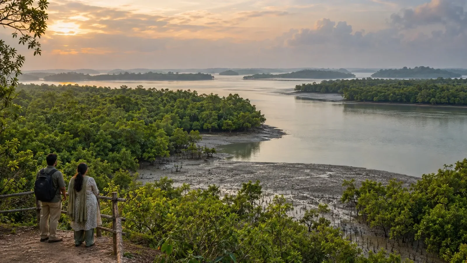
AI-generated fictional Sundarbans-inspired scene, not an exact channel, current tide or ecological condition, viewing place, boat route, wildlife promise or access record.
The Sundarbans is better understood as forest and water together than as a dry forest with a river beside it. The English heritage account for India's Sundarbans National Park describes mangrove forest alongside tidal rivers, creeks, canals and estuarine mouths. Those waterways belong to the landscape explanation, not merely to transport planning.
Read forest and water together
The Ministry of Culture describes an intertidal network of waterways, mudflats and islands in the Sundarbans. Read these as parts of the forest-and-water setting rather than assume the attraction is only a continuous tract of dry woodland.
That description is not a numbered inventory or a boundary map. This article concerns the landscape relationship described for the Indian park; it does not treat every place carrying the broader Sundarbans name as one visitor destination or one admission product.
Understand the tidal relationship
The English heritage criteria describe tidal action shaping the land through erosion and deposition. The useful idea is that water and land are related through these processes, rather than the channels being a static backdrop to the trees.
This is a qualitative account, not a report of a channel's present shape, depth or salinity. It does not predict the water level, exposed ground or forest condition on a travel date. A landscape process is not a navigation instruction.
Keep a landscape description separate from a tour
The forest-and-waterway relationship gives a reason to understand the setting beyond a hoped-for animal encounter. It does not establish which channel a boat may use, where a visitor may land or what wildlife will appear.
No boat route, shore walk, landing, safe passage or access arrangement is confirmed here. Nor does this explanation establish a present ecological condition or a protective effect during a storm. It describes the source-supported landscape relationship, not an operating or safety assessment.
Frequently asked questions
Are the waterways just a way to reach the forest?
In the descriptions used here, tidal waterways are part of the forest landscape itself.
Why mention tides in a forest explanation?
The heritage criteria describe tidal action shaping land through erosion and deposition.
Does this describe every area called Sundarbans as one park?
No. The broader regional name is not treated as a single boundary, visitor route or admission product.
Does the landscape description guarantee a boat trip or animal sighting?
No. It establishes neither a current visitor operation nor a wildlife encounter.
Does this predict a channel depth or water level?
No. No present channel shape, depth, salinity or travel-date water level is predicted.
Does this establish protection during a storm?
No. No protective effect or safety assessment is supplied.
Official sources and limits
English Indian-park heritage descriptions support the tidal forest/waterway relationship. No cross-border boundary claim, current condition, navigation, protective effect, wildlife promise or access is established.

A Miranda House graduate and lawyer who traded courtrooms for slow travel. Cheshta travels with the batches we host ourselves, with a soft spot for travelling alongside elders.
Planning your next trip?
We'll handle insurance, hotels, airport assistance and the itinerary — the same way we do it for every trip.
Questions on this article
asked by readers, answered by us
Was this helpful?
one tap, no sign-up