




- Subject
- Underground water conveyance
- Account terms
- Karez and qanat
- Form described
- Aqueduct network
- Supply today
- Not confirmed
- Reviewed
- 17 November 2026
Reviewed: 17 November 2026. Underground-conveyance explanation, not a present supply report or tunnel route.
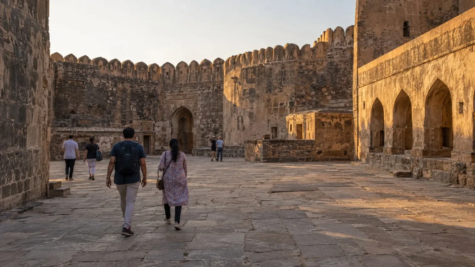
AI-generated fictional Bidar-inspired courtyard scene; not a karez diagram, identified shaft, working water supply, historical reconstruction or current access record.
Bidar's karez is described as a network for carrying water underground, not simply as one well. The district government's account uses the terms karez and qanat for an underground aqueduct network. That definition gives the useful starting point: connected water passages, rather than one isolated opening in the ground.
Begin with a network
The district account describes underground canals connecting underground water streams. It relates them to supplying civilian settlements and the garrison inside Bidar Fort. The subject is the connection between water sources, passages and places supplied.
Calling the system a network matters. It directs attention to the relationship among its parts, rather than making one shaft or opening stand for the whole arrangement. This article does not map those parts or identify a visible opening from a photograph.
A well and an aqueduct network are not interchangeable descriptions. Here the source's defining emphasis is on carrying water through linked underground passages. No cross-section, hydraulic calculation or detailed construction method is supplied.
Separate conveyance from present supply
The district account explains the system's water-supply purpose. That does not establish its operation now. A description of what canals were meant to supply is not a current report on flow, maintenance or the people receiving water.
This article makes no drinking-water-quality claim. Nor does it certify a restoration outcome, the condition of a passage or whether any part of the network is currently working. Keep the source-supported purpose separate from those questions.
Do not turn the description into an exploration route
An underground system's existence does not make it a visitor tunnel. This explanation gives no entrance, route, descent or permission to approach an opening. Do not enter a shaft or passage because it has been mentioned in a heritage account.
The network can remain the subject without tracing it physically. No guided underground visit, lighting, assistance, opening arrangement or access to the fort's water structures is confirmed here. The narrow takeaway is the conveyance relationship described by the district, not a promise of an experience below ground.
Frequently asked questions
What does the district account mean by karez?
An underground aqueduct network, also called qanat in that account.
What relationship does the account describe?
Underground canals connecting water streams for settlement and garrison supply.
Does this establish a working water supply today?
No. Purpose and current operation are different questions.
Is an underground walk included?
No entrance, route, guided visit or permission to enter is established.
Does this confirm drinking-water quality?
No. No water-quality assessment or drinking-water claim is supplied.
Does this certify a restoration result?
No. No restoration outcome, maintenance state or passage condition is certified.
Official sources and limits
The district account supports karez/qanat as an underground aqueduct network linking streams for settlement and garrison supply. No age, extent, shaft tally, construction method, hydraulics, current supply, water quality, restoration result, route, descent or entry entitlement is established.

A Miranda House graduate and lawyer who traded courtrooms for slow travel. Cheshta travels with the batches we host ourselves, with a soft spot for travelling alongside elders.
Planning your next trip?
We'll handle insurance, hotels, airport assistance and the itinerary — the same way we do it for every trip.
Questions on this article
asked by readers, answered by us
Was this helpful?
one tap, no sign-up