



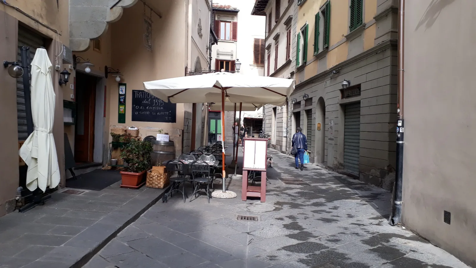

Palickap, "Pistoia, Via del Lastrone", 28 October 2019, via Wikimedia Commons, CC BY-SA 4.0. Recompressed for The Trip Keeper; no crop. The supplied version is shared under CC BY-SA 4.0. Historical illustration, not a record of present conditions or an access route. No endorsement implied.
Palickap · Wikimedia Commons · CC BY-SA 4.0

Reviewed 19 November 2026. Historical interpretation of bounded published texts: Leporatti's introduction, relevant plot, transaction, street and borough sections, and conclusion; Folin's early civic-building sections through fourteenth-century renewal, not his full paper; Carofano's urban-history passages, not the full art-history entry; Belgiorno's historical section and internal-neighbourhood descriptions, not the whole study; and the 2006 historic-city plan's analytical pp.25-44, not its entire programme. Detailed edge-ground, subdivision and street interpretation rests mainly on Leporatti. Original charters, research maps, illustrations and buildings were not independently inspected. No present-condition, operations, access, engineering or household-outcome assessment is supplied.
Earlier edges became ground within a changing city
Pistoia's growth cannot be explained simply by adding a larger ring around a finished smaller town. Silvia Leporatti's study follows land formerly associated with public boundaries into gardens, grants, sales and houses. Ground that had marked an earlier edge could acquire a different position within the growing city, while streets and properties in the older centre were also changing.
The outward boroughs did not all have an identical beginning. In the documents examined by Leporatti, earlier references concentrate on the eastern side, particularly around San Bartolomeo and San Pier Maggiore. More numerous and differentiated references to other sides appear later. These institutions and their properties belonged to developing settlements, rather than stand alone outside an otherwise complete town.
That documentary pattern needs care. The surviving records partly reflect the location and interests of the institutions that produced them. Leporatti considers this problem before arguing for the eastern area's distinctive earlier development. The first surviving mention of a borough is not its foundation date, and the relative scarcity of early references elsewhere does not establish empty land.
The detailed interpretation of edge-ground ownership, subdivision and local street change rests mainly on Leporatti's doctoral research. Other studies supply a wider comparison and challenge parts of the civic chronology, but they do not independently confirm every transaction. The argument is therefore about documented relationships and qualified reconstructions, not a complete original plan of Pistoia.
Monastic gardens were granted and divided into house plots
Near San Mercuriale, the change concerned ground that the monastery had long held as gardens. Leporatti identifies it with former edge-ground whose public origin did not make the commune the immediate landlord in every later transaction. In 1251, the nuns granted the use of two neighbouring plots for building. This was the management of an established monastic holding, not a new municipal sale of vacant land.
The grants set conditions for construction beside the monastery. Restrictions on openings towards its premises show that making residential ground available also meant defining relationships between neighbours. Permission to build did not make every arrangement possible, nor does a contract by itself show that all the proposed houses were immediately completed.
Later documents make actual occupation more specific. In 1283, parts of the holdings granted to the two earlier tenants were recorded again, with houses on portions of the ground. The sequence connects the original plots, their subsequent division and at least partial residential construction. Land described as a single grant in one document could later contain smaller holdings and more than one building relationship.
Leporatti compares those documentary boundaries with later building spaces to locate the plots. The comparison supports a local reconstruction, but it does not produce the plan of every house or a standard module for the entire city. What matters is the change from long-held garden ground to divided residential property at a place that was no longer simply Pistoia's outer edge.
Municipal sales changed different ground and different rights
Other transactions involved the commune itself. Leporatti examines sales in 1283 of narrow strips formerly belonging to the older ditch-ground, including property near the southern and western side of the earlier city. Some lay in front of purchasers' houses. Acquiring such a strip changed the relationship between an existing dwelling, its frontage and adjacent ground.
Debt was an explicit reason given for these municipal sales. That distinguishes them from the monastery's earlier building grants, even though both helped change former edge-ground. Different holders were making different decisions about land that had acquired new urban possibilities. They should not be compressed into one coordinated subdivision campaign.
The study also identifies sales beside a later boundary on the northeastern side. The initial conditions allowed building relationships with the adjoining wall while restricting interference with it. Later permissions extended private rights over particular portions. Possession of adjacent land and wider rights over the fabric beside it were not necessarily acquired together.
These changes were already under way before the familiar account of destruction following the conquest of 1306. Leporatti's evidence complicates a clean division between an intact earlier enclosure and a wholly new city afterwards. It does not require treating every boundary as already gone, or choosing one exact year when all private occupation became lawful.
New residential ground altered connections through the older city
The consequences reached beyond individual plots. At Via della Torre, Leporatti relates a reworked street end and a new house row to the occupation of earlier edge-ground and incorporation of an older gateway's structures. The former approach was being changed through building and property arrangements within the enlarged city, not simply retained as the same entrance in a larger ring.
On the southern side, opposite San Giovanni Forcivitas, the study brings together evidence for blocks developed on earlier edge-ground and permissions for crossings associated with household access. A permission does not establish a completed crossing at every property. It does, however, show that connections through the changed edge were part of the arrangements being negotiated.
Taverna supplies a different kind of street-making. From 1225, the commune bought small pieces of gardens, house property and other structures for a street identified in the records as the new street of Taverna. Purchases continued over time. Re-establishing a route through occupied ground required separate acquisitions, rather than a line drawn through an empty centre.
The precise earlier arrangement is less certain. Leporatti proposes a parallel route within the later block and reconstructs house rows and rear open spaces from a limited combination of surviving evidence. That possible internal route must remain a hypothesis. The documented purchases are firmer evidence that central streets, as well as outward settlement, were being remade through property decisions.
Civic acquisitions did not create a complete palace in one moment
The ground around the communal square belonged to the same changing older city. Leporatti connects Calzoria and neighbouring property with civic acquisitions and alterations to the street setting. Those changes should not be reduced to a story in which a completely new town hall suddenly appeared in 1294 and fixed all the surrounding relationships.
Marco Folin's archival study changes that account. He identifies an earlier communal palace documented in 1211 and traces different premises used by governing bodies. Purchases of neighbouring houses and land in 1294 are considered in relation to enlargement and changing occupation of existing civic ground, not as sufficient proof that the entire palace began then.
Folin also states that the extent to which the late-thirteenth-century programmes were carried out is not known. Important fourteenth-century changes followed, and parts of the reconstructed building sequence remain debated. Acquiring a property, assigning premises to an office and completing a building were separate stages, even when later appearances brought them into one architectural setting.
Nor does the timing establish a financial chain from every land sale to civic construction. The debt motive for municipal sales is documented; Leporatti's proposed connection with public expenditure remains a hypothesis. The secure relationship is that the commune both disposed of some ground and acquired other property while the older city's streets and institutions changed.
The growing city contained different uses and different histories
The outward boroughs and the changing older centre belong in one explanation without being forced into one process. The eastern settlements had particular institutional and property connections. Monastic garden grants, municipal strip sales, residential subdivision and purchases for streets changed other parts of the city in different ways. A shared later boundary did not give all those places the same history.
Later studies also complicate the image of a uniformly built interior. Erna Giovanelli Belgiorno's 1965 urban-geography study describes different concentrations of buildings and cultivated ground. The analytical chapter of the 2006 historic-city plan likewise uses historical cadastral comparisons to discuss changes within formerly open interiors. These are dated investigations, not a description of present neighbourhood uses.
Their evidence does not establish an unchanged urban structure or the recovery of one ideal original city. A street relationship could persist while houses were divided, ground was built upon and institutional premises were enlarged or replaced. The sources differ in method and date, and their descriptions of continuity cannot cancel the changes they also record.
Pistoia's earlier edges are therefore useful as changing pieces of urban ground. Following who held them, what was granted or sold, how holdings were divided and which connections were altered links houses to streets and the older centre to its boroughs. The result is a history of related but unequal transformations, not a city assembled from intact rings.
Sources
- Leporatti 2013, introduction, relevant sections and conclusion only; checked 19 Nov 2026
- Folin 2024, early civic-building sections through fourteenth-century renewal only; checked 19 Nov 2026
- Carofano 1998, urban-history passages only; checked 19 Nov 2026
- Belgiorno 1965, historical section and internal-neighbourhood descriptions only; checked 19 Nov 2026
- Comune di Pistoia 2006, analytical pp.25-44 only; checked 19 Nov 2026
Questions people ask at the gate
Did Pistoia grow by adding intact rings around an unchanged centre?
No. Leporatti's transaction and building evidence shows earlier edge-ground changing through occupation, grants, sales and subdivision while central streets were also being reworked. Outward boroughs developed differently. Successive boundaries do not establish successive finished and unchanged cities.
Were the San Mercuriale grants the same as the commune's land sales?
No. The monastery granted building use of garden ground it had long held. The commune later sold other strips, explicitly citing debt. The land's earlier public association does not make the immediate landlord, conditions or purpose identical in every transaction.
Do the documents prove that every granted plot immediately became a house?
No. The 1251 grants permitted and required particular construction arrangements. Later records from 1283 establish houses on portions of the earlier holdings and changes in their division. That supports partial residential transformation, not immediate completion of every possible building.
Did buying land beside a wall give unrestricted rights over it?
Not in the transactions examined by Leporatti. The initial conditions distinguished building on adjoining ground from interference with the wall. Later permissions expanded rights in particular cases. These are historical arrangements, not statements of present property law.
Did the present communal palace simply begin in 1294?
That is too simple. Folin identifies an earlier communal palace and relates the 1294 purchases to enlargement and changing occupation. He also questions how much of the late-thirteenth-century programme was executed and traces important later changes. Purchase, construction and subsequent remaking need to remain distinct.
How certain is this account of plots and streets?
The detailed ownership, subdivision and local-street interpretation rests mainly on Leporatti's doctoral programme. Folin independently changes the civic chronology, while other studies test the wider urban setting. Some earlier routes and building arrangements remain reconstructions, and none of these sources supplies a complete census of houses or households.
Next walk starts at a new gate.
Was this helpful?
one tap, no sign-up

A Miranda House graduate and lawyer who traded courtrooms for slow travel. Cheshta travels with the batches we host ourselves, with a soft spot for travelling alongside elders.